
Westport ZIP Code Coverage
Official postal materials identify four Westport-labeled ZIP codes. They do not publish a complete address-level boundary map or a neighborhood population table. Use each row as a postal clue, then check a full address through USPS. Greens Farm and Weston Branch belong in the comparison because state postal tables show how station and place wording can diverge from municipal geography.
| ZIP | Associated area | Post office clue | Boundary note |
|---|---|---|---|
| 06880 | Westport | Westport; Saugatuck Station row | Primary label; verify delivery address |
| 06881 | Westport | Town documents use Westport PO Boxes | Mailing clue, not a situs boundary |
| 06888 | Westport | USPS and state list | Exact local extent not published |
| 06889 | Westport | USPS and state list | Exact local extent not published |
| 06838 | Greens Farm | State postal-place row | Associated clue, not an all-Westport claim |
| 06883 | Weston | Weston Branch row mentions Westport | Branch label differs from ZIP label |
The Westport ZIP code directory therefore does not treat every code in the table alike. The first four have official Westport labels. The last two help explain nearby postal wording and must be verified at the address level.
Four Westport Address Labels
A parcel can carry four different location clues. The situs address says where the land lies and drives GIS, permit, zoning, and assessor searches. The owner mailing address says where tax notices go, which may be a box or another town. A legal description identifies the recorded land interest through map, lot, block, subdivision, or deed wording. The postal city and ZIP describe USPS delivery.
| Situs address | Use for the parcel, permits, zoning, and town map. |
|---|---|
| Mailing address | Use as owner-contact evidence, not occupant proof. |
| Legal description | Use to bridge old deeds and modern parcels. |
| Postal city and ZIP | Use to confirm USPS delivery labeling. |
A Westport line on an envelope does not prove town residency. Likewise, a branch row using Westport does not place every parcel in the town.
Westport 06881 Mailing Clue
Town documents provide firm evidence that 06881 functions as a Westport mailing and PO Box clue. The Tax Collector, for example, uses a Westport PO Box address in that ZIP. That does not establish a separate neighborhood boundary or say where a box holder's home lies. It explains why an owner card can show 06881 while the property itself has a different situs ZIP.
This is a useful comparison quirk. A parcel search keys on its situs address or parcel number, while mailed notices follow the owner field. Copy both exactly. Never replace one with the other in a resident search.
Verify a Westport ZIP
The USPS ZIP Code Lookup is the official address-level check. Its dynamic tools accept either an address or city and state. Preserve the returned postal city and ZIP exactly, including any branch or alternate place wording. Then compare that output with the town's property and map records.
The captured form shows the national lookup interface used for a Westport ZIP code directory check.
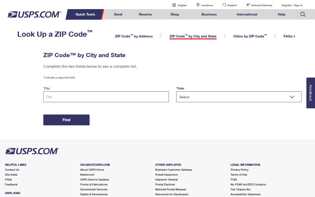
The form supplies postal evidence. It does not determine municipal jurisdiction, ownership, or the occupants at an address.
- Enter the complete street address in USPS and save the postal city and ZIP.
- Search the same situs address in Westport Vision and note its owner mailing field.
- Open the parcel in AxisGIS and record town boundary and parcel context.
- Resolve any conflict with town maps, the deed description, and official postal lists.
- For old addresses, compare a directory, Sanborn map, Town Clerk map, and deed.
Westport Vision Has No ZIP Filter
The Westport Vision property search offers Address, Owner, account number, MBLU, PID, and All modes. It does not show a ZIP field. Its Street Listing also lacks a ZIP filter, and Sales Search filters date, price, building area, model, and style instead. Search the situs address, owner, or parcel key first, then inspect the mailing ZIP on the resulting card.
| Vision control | Type | Use |
|---|---|---|
| Search source | Dropdown | Address, Owner, Acct#, Mblu, PID, All |
| Dynamic entry | Text | Value for selected source |
| MBLU parts | Text fields | Map, cuts, block, lot, unit |
| Search | Button | Runs the selected query |
Open Vision's live form before comparing its captured selector.
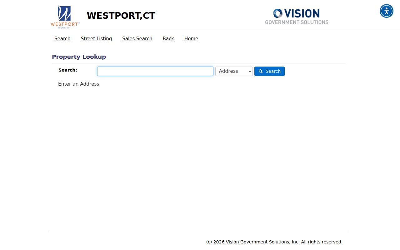
The image confirms that ZIP is read from a result, not used as the primary search field.
Find Westport Residents by ZIP
A ZIP can narrow a search but cannot produce a verified household roster. Begin with a known name, full address, or parcel. USPS confirms the delivery code. Vision connects the situs to a recorded owner and separate mailing address. AxisGIS places the parcel in municipal, zoning, flood, wetland, and other public layers. Connecticut voter access has its own limits: the public endpoint rejected the research request, while the full statewide file costs $300 and requires a permitted-purpose certification.
Once a ZIP narrows the area, use the Westport streets reference for address-level parcel work. Do not infer every occupant from an owner card, voter record, business address, or postal label.
Note: No official Westport ZIP-by-neighborhood population or registration count was located, so none should be estimated from partial rolls.
Nearby Westport Postal Clues
The state postal table lists Greens Farm with 06838 and a Weston Branch row that pairs Westport with 06883. These are clues about post-office naming, not proof that all addresses using a code lie within Westport. Nearby 06824 is labeled Fairfield and provides another comparison point. Always let the address-level USPS result and town parcel record answer their separate questions.
Westport's named places add more context: Saugatuck, Compo, Green's Farms, Long Lots, Coleytown, Old Hill, and Taylortown appear in local history and records. A neighborhood name may explain an old directory or map entry even when it never became a ZIP label. Preserve the old place wording when asking a clerk or librarian for a source, since it may be the best available search term.
Westport ZIP History Gaps
No official source in the collected research documents a townwide ZIP split, realignment year, ZIP-only boundary shapefile, or comprehensive street-renumbering crosswalk. Do not invent one. Westport incorporated in 1835 on both sides of the Saugatuck, and Green's Farms and Long Lots joined during the next seven years. Kings Highway, Boston Post Road, and the railroad's 1858 arrival are better-supported historic address anchors.
When an old address fails, ask the Town Clerk, GIS staff, Westport Library, or Westport Museum for maps and old-to-new comparisons. Town map searching reaches January 1, 1886, though some maps are not online. The land index begins in 1835. A recorded legal description can survive changes in postal wording.
Westport ZIP and Town Limits
ZIP codes were built for mail delivery, not as legal town borders. Westport's official labeled codes, nearby postal-place rows, branch wording, parcels, and historic neighborhoods overlap as different systems. AxisGIS shows town and parcel context, while USPS supplies the delivery label. Neither replaces a recorded deed or legal survey.
- ZIP code
- A postal routing code for a delivery area.
- ZIP+4
- A base ZIP plus four digits that narrow a delivery segment.
- PO Box ZIP
- A code used for box mail rather than a parcel boundary.
- Unique ZIP
- A code assigned to one high-volume organization; none was verified for Westport.
- Carrier route
- A mail-delivery path that can cross familiar neighborhood lines.
Keep the systems separate. Postal city, ZIP, town line, parcel situs, legal description, and owner mailing address answer different questions.