
Walk Westport Streets by Address
A sound street-by-street search follows one parcel through several official records. Start with the physical, or situs, address. Westport's municipal systems matter more than a county office because Connecticut has no active Fairfield County recorder. The Town Clerk, Assessor, and town GIS each hold a different part of the answer.
- Enter the address in the Westport Vision Property Lookup. Save the owner, property location, account, MBLU, PID, and deed book/page.
- Open the parcel in Westport AxisGIS. Check adjoining parcels, boundaries, layers, and the Vision field-card link.
- Use the owner's name, book/page, and legal description in the Town Clerk land index. Search both parties if an address term fails.
- Check permits and public applications by address. Treat an applicant or contractor as a project clue, not proof of residence.
- For a dated occupant clue, ask about voter-file access and historical street-order directories. Confirm each source's date and limits.
No single result identifies everyone at a home. The Westport street directory becomes useful when dated records agree, while ownership and occupancy remain separate conclusions.
Search Westport Vision Streets
Vision includes a Street Listing with alphabet links and a filter. Clicking a street leads to current parcels. It is a parcel browse, not a resident roster or an archive of renamed roads. The main search accepts several keys, so an account or parcel ID can solve a spelling problem.
| Vision control | Input | Best use |
|---|---|---|
| Address | Street address | Locate the current parcel |
| Owner | Name or entity | Find owner-of-record parcels |
| Acct# | Account number | Return to a known card |
| MBLU | Map, block, lot, unit | Resolve parcel identity |
| PID | Parcel identifier | Bridge Vision and GIS |
Cards are updated daily, but the town calls the database a work in progress. Record the print date and recheck material facts with the Assessor. The captured official screen shows why a street name is only one route into the assessment roll.
View the live Westport assessor search before relying on a saved result.
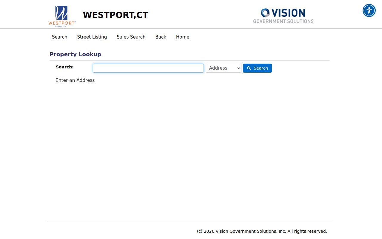
The selector confirms the address, owner, account, MBLU, PID, and all-record modes used for a Westport search by address.
Westport Address Record Coverage
Each source answers a narrow question. The assessor states current ownership and assessment facts. GIS maps the parcel. A deed proves a recorded land transaction. A permit documents an application or approved project. Voter data follows separate access rules. A historical directory freezes what its publisher printed in one edition.
| Address source | Westport keeper | What it establishes | Access |
|---|---|---|---|
| Property card | Assessor | Owner, situs, mailing clue, assessment, parcel keys | Vision or office |
| Parcel map | Town GIS | Lot position, abutters, zoning, public layers | AxisGIS or GIS staff |
| Deeds and maps | Town Clerk | Recorded parties, instrument, book/page, legal description | RecordHub, counter, request |
| Permits | Building and land-use offices | Project, application, date, status | Online and legacy archives |
| Voter file | State and registrars | Dated registration fields subject to law | Lookup, registrar, file request |
| Old directories | Libraries and archives | Dated published name/address | Shelf, film, database, staff request |
If a portal fails, use the counter, phone, or written request. The Town Clerk is the land-record fallback. Assessor staff can clarify a field card, while library staff can check volumes that are not described online.
Map Westport Street Parcels
AxisGIS supplies geography missing from a list of results. Search an address, choose the suggested result, open the parcel box, and follow the Vision property link. Layers include aerials, zoning, wetlands, flood information, permits, public works, and boundaries. Public report fields include PropertyAddress, OwnerName, Vision_PID, Use_Descript, Deed_Book, Deed_Page, and acreage.
The town's abutter instructions describe notice searches of 250 feet in A/Commercial zones and 500 feet in AA/AAA zones. Those distances serve a formal notice task, not a claim that everyone inside the circle resides there. Follow the current application notice rule. AxisGIS is an informational planning tool, not a legal survey.
Cross-key tip. Save the situs, owner and mailing line, PID or MBLU, and deed book/page as one set.
Read Westport Parcel Terms
A few terms prevent common errors in a Westport street directory search. They also help when an old street label no longer matches the current card.
- Parcel
- A mapped unit of land tied to an assessment account. One address may involve more than one parcel.
- Situs address
- The physical property location, distinct from the owner's tax-mailing address.
- MBLU
- The map, block, lot, and unit key used to identify a parcel apart from street spelling.
- Plat
- A recorded map showing lots, lines, roads, or a subdivision.
- Criss-cross directory
- A historic directory arranged by street and house number instead of surname.
A mailing line can be a post office box, another town, or another state. It does not relocate the parcel. A legal description can stay useful through a road-label change.
Trace Westport Deeds by Street
The Town Clerk public-records page routes land research to RecordHub. The index reaches from 1835 to the present, while most online images begin June 24, 1960. Maps are described from January 1, 1886, and some are not online. An index hit can exist without a free image.
Start from the current Vision book/page or owner. In the deed index, a grantor gives property and a grantee receives it. Move back by finding the instrument that brought title to today's owner, then search the seller as a grantee in an older transfer. Save recording date, book/page, type, and legal-description wording at each step.
Open Westport RecordHub to review its current search and account routes.
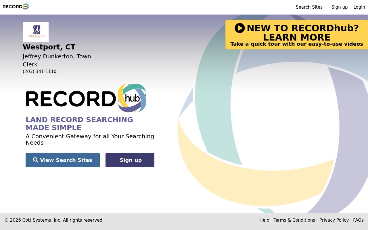
The portal screen shows the search-site and account entry points. Use the Town Hall counter for older images, incomplete address indexing, maps, and certified copies.
Note: Fairfield County has no active county recorder, so Westport deeds remain with the municipal Town Clerk.
Westport Permits as Address Clues
Permits date changes to a parcel and may explain why a card or map shifts across time. Westport Online Services covers current electronic activity. Building Department pages route older certificates of occupancy and oil-tank material. Planning, conservation, health, fire, licenses, and public works can hold distinct files.
The current online permit system begins February 1, 2020. Department-specific legacy archives may reach farther back, so a blank current search is not the end of the inquiry. Search the same address without a unit suffix, then try the parcel key or owner name where the system permits it. Retain the application number, filing date, department, record type, and status. Those fields help staff locate the underlying file by phone, at the counter, or through a written request.
Read them narrowly. An applicant, owner, contractor, or contact has a role in that project. The file does not prove residence. If a needed nonexempt record is absent online, contact the department or make a reasonably described Connecticut Freedom of Information Act request.
Westport Voter Street Limits
Connecticut's public voter lookup was unstable during research. Westport registrars provide help, and the state maintains the system. The statewide CSV request uses an official form, costs $300, and carries statutory use limits. Safety-protected voter information may be suppressed.
Registration evidence is dated and incomplete. It omits people who are not registered, does not identify every household member, and can lag a move. A street spelling, unit format, or protected record can also change the apparent count. Preserve the file date whenever a voter record is used beside a parcel or directory entry.
Use the official lookup when available, contact the registrars, or follow the state file-request route. Never treat a missing row as proof that a home is empty. The registrar is the best source for access questions that the rejected web endpoint cannot answer.
Rebuild Old Westport Streets
Historic records may use Saugatuck, Green's Farms, Compo, Long Lots, Bankside, Coleytown, Old Hill, or Westport Center instead of a modern postal label. The railroad's 1858 arrival and routes such as Kings Highway and Boston Post Road anchor older descriptions. Pair these labels with a deed, map, newspaper, or directory edition.
For earlier occupants, consult the Westport city directory collections. No official source confirmed a standalone reverse run for every year, so ask Westport Library or Bridgeport History Center for criss-cross, telephone, and street-address holdings. Compare each entry with a Town Clerk map, Sanborn sheet, legal description, or current MBLU.
Westport Street Directory Limits
A property card identifies an owner of record, not every occupant. Public utilities do not offer a customer directory. Driving addresses are restricted. Protected voter records, sealed cases, confidential vital details, and Safe at Home substitute addresses may be hidden. Search output can also be stale or tied to a mailing line instead of the situs.
Use these records for lawful personal work, such as family history, deed verification, civic review, or an address puzzle. Confirm important facts with the custodian. Do not contact or confront a person merely because a name appears beside an address.
Respect privacy. Never use Westport address records to stalk, harass, intimidate, harm, or defeat an address protection.
A focused Westport resident lookup is more precise when one current person, rather than a whole street, is the real question.